Geoinformation and Navigation Systems
Order the service, we will contact you in the nearest time and answer all your questions.
Designation and application
Past projects
Cost and terms
Geoinformation and navigation systems provide continuous object tracking, report generation and notification of dispatchers in case of emergency situations. They can be used to obtain the following information: object location coordinates, report on movements and stops, and, in case of vehicle monitoring, fuel report and idle time report.
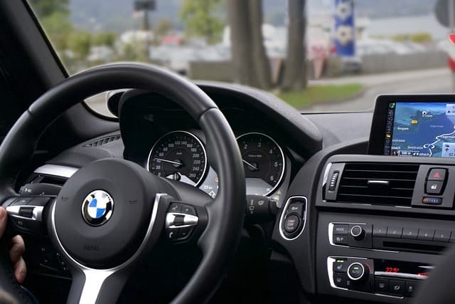
As a part of geoinformation and navigation systems, Sen_it_Cit supplies hardware and software that is used for monitoring and controlling the condition of moving and stationary objects both indoors (Indoor) and outdoors (Outdoor).
Creation of geoinformation and navigation systems allows:
- control the location and movement of the object;
- reduce the time of emergency response;
- increase the efficiency of control processes;
- increase traffic safety.
Sen_it_Cit has many years of experience in creating geoinformation and navigation systems for commercial and state customers. Our specialists implement geoinformation and navigation systems for personnel, transport, stationary objects and engineering constructions management.
Sen_it_Cit specialists have developed their own methodology and software allowing to combine various navigation technologies. This makes it possible to have a seamless navigation, i.e. a continuous process of control over the object both in the open space and indoors. When an object moves in the street it is controlled by GLONASS and GPS satellite navigation technologies and when it moves indoors it is controlled by Indoor navigation technologies.
We create geo-information and navigation platforms on behalf of the customer in a short time on the basis of our own Internet of Things (IIoT) platform. It implements the basic functions of indoor and outdoor navigation solutions.